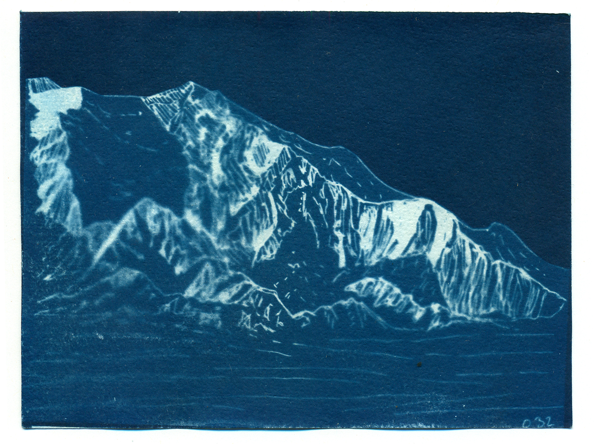
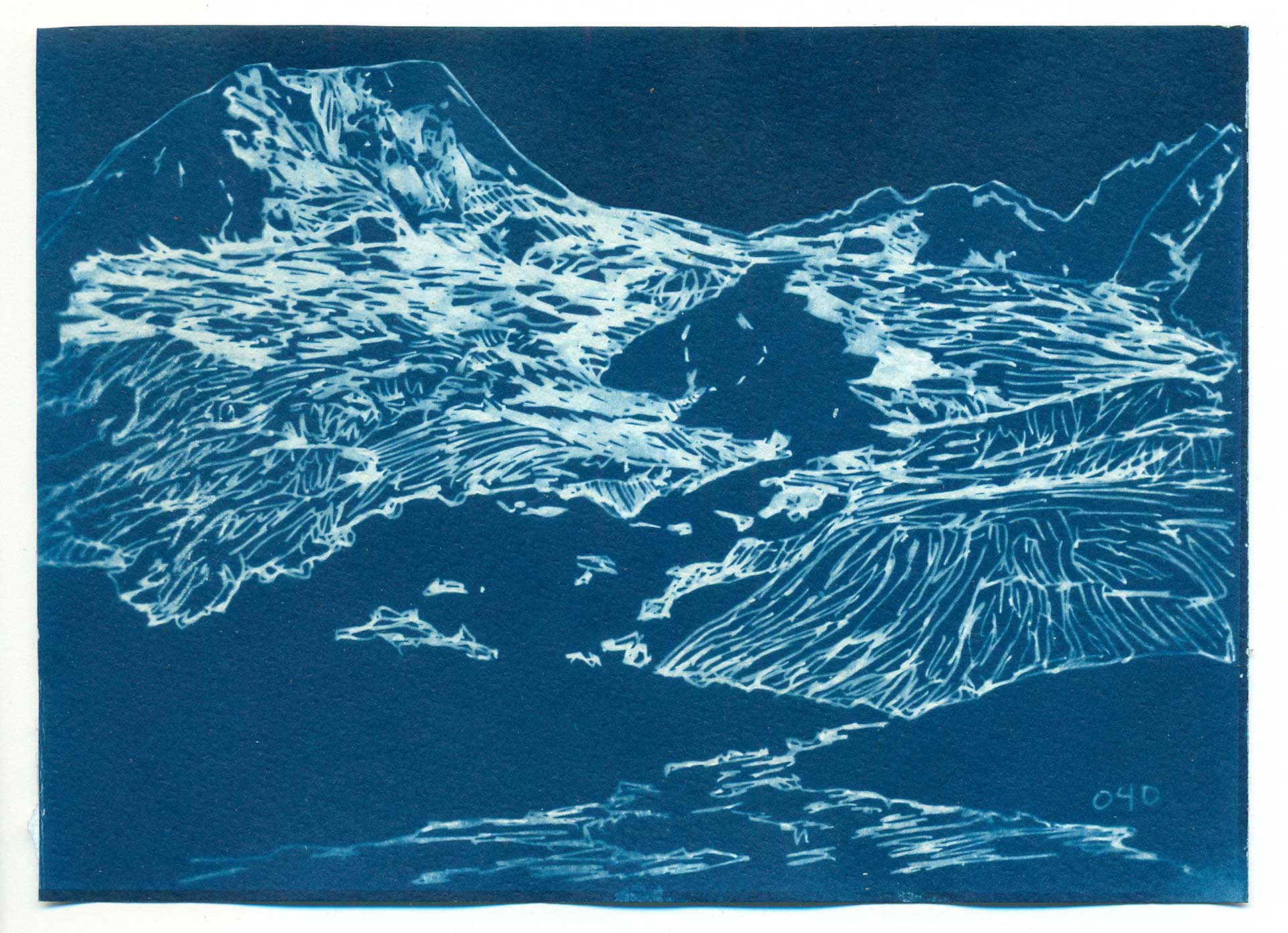
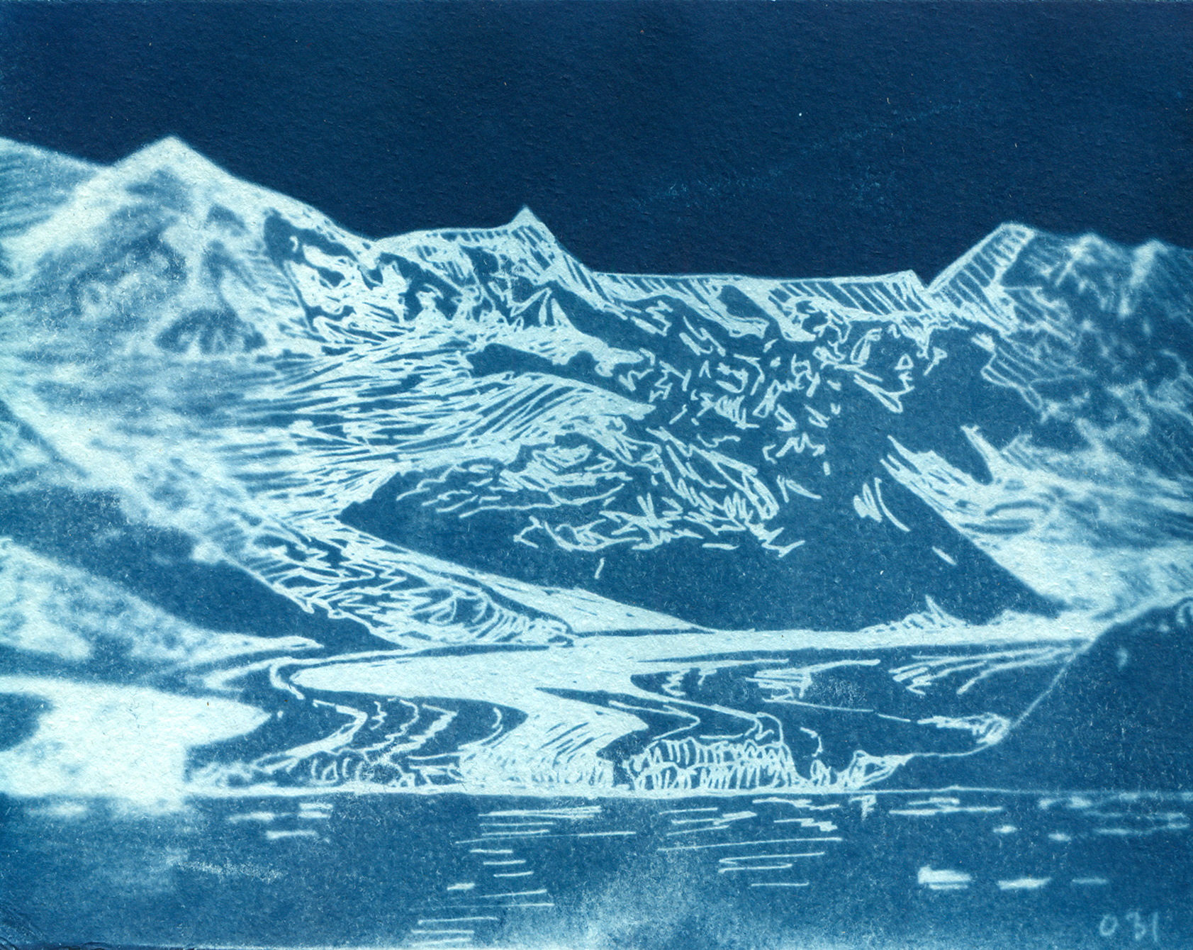
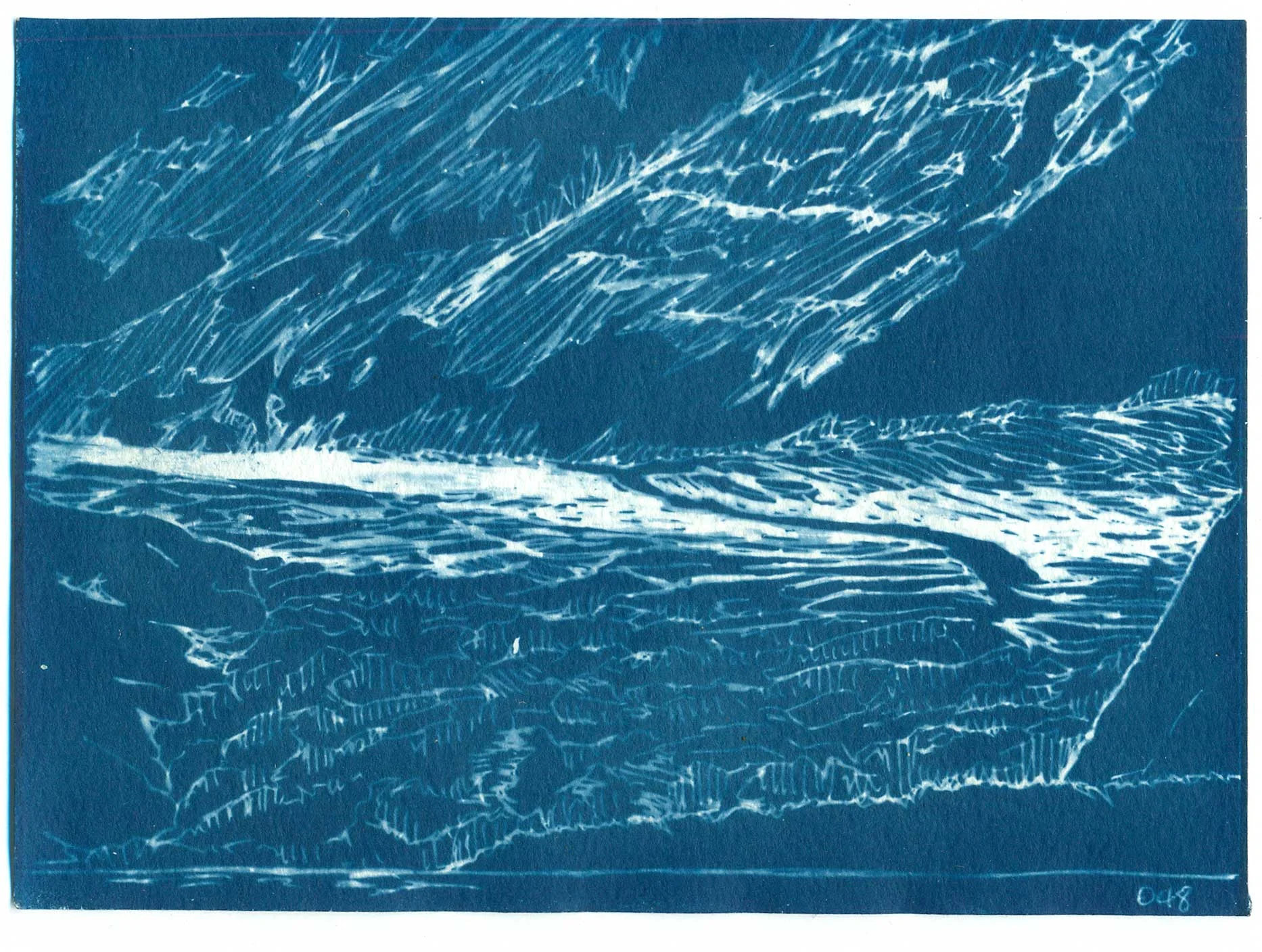
I’m almost at the end of my 100 Day Project, well for now anyway. I set out in March to create 100 drawings of glaciers to make cyanotypes from. The project has had some ups and downs; I ended up skipping about 30 days, so I’m calling it good at 70. I’m pretty pleased with that accomplishment, and I might catch up with the last 30 days this fall. In July I’m leaving to spend some much anticipated time in the backcountry so I’m ending this project before I go.
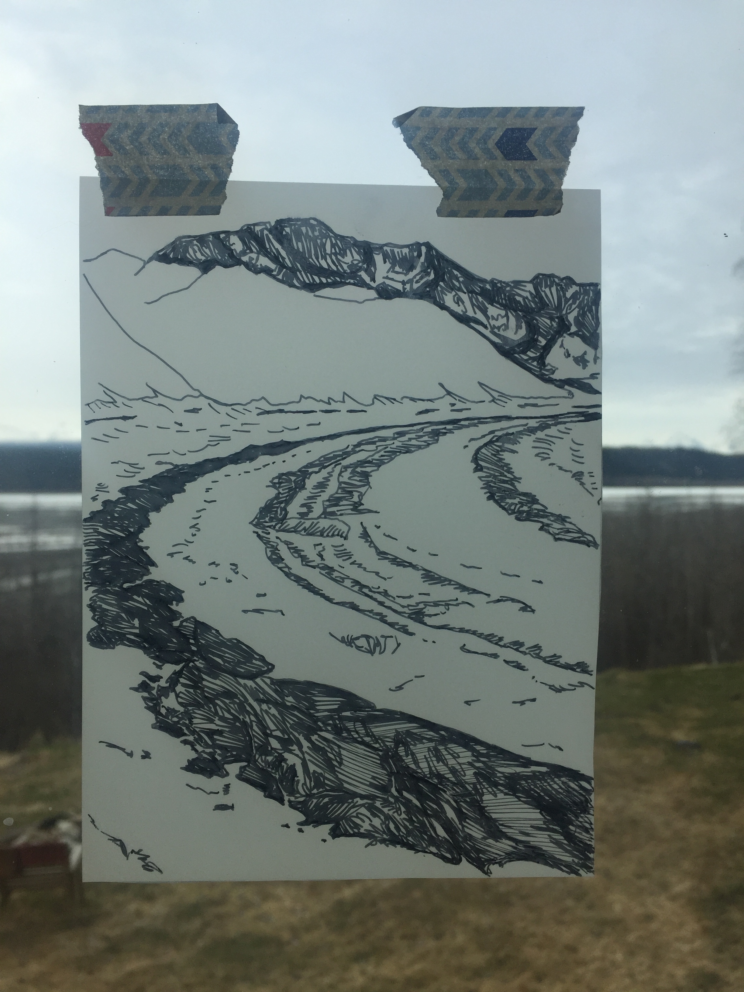
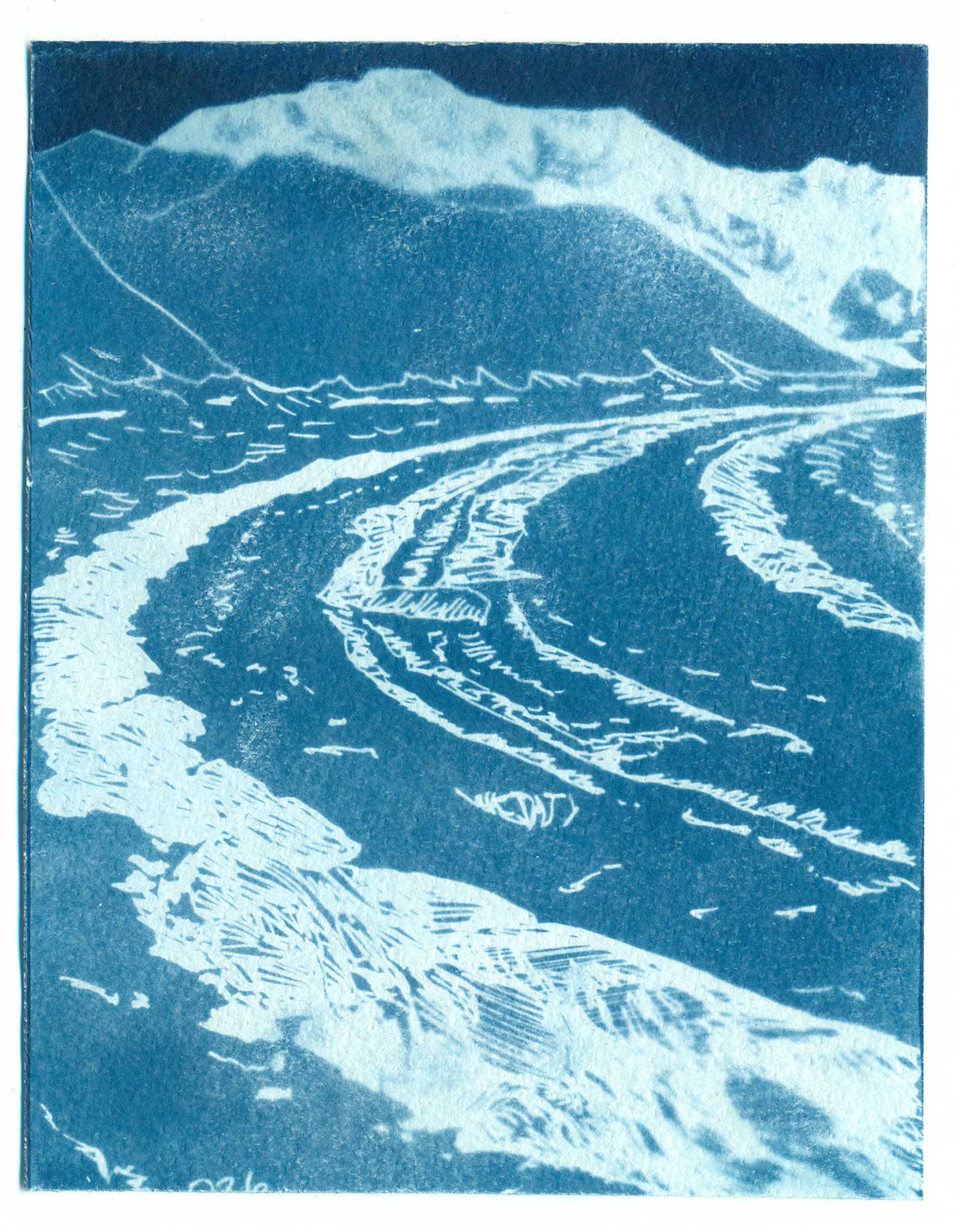
The Root Glacier and Stairway Icefall
I started out posting on Instagram every day about my progress. Usually, #the100dayproject is a social media thing. However, I found that it wasn’t working for me. I felt like my posts were getting too repetitive and I really wanted to post the final product or cyanotype print, but it’s been a really cloudy spring and I haven’t been making prints very often. If I do a 100 Day Project in the future, I will think more about its social media intentions. It seems like the best ones tell a story that grows over the 100 days and are a bit more than posting daily art.
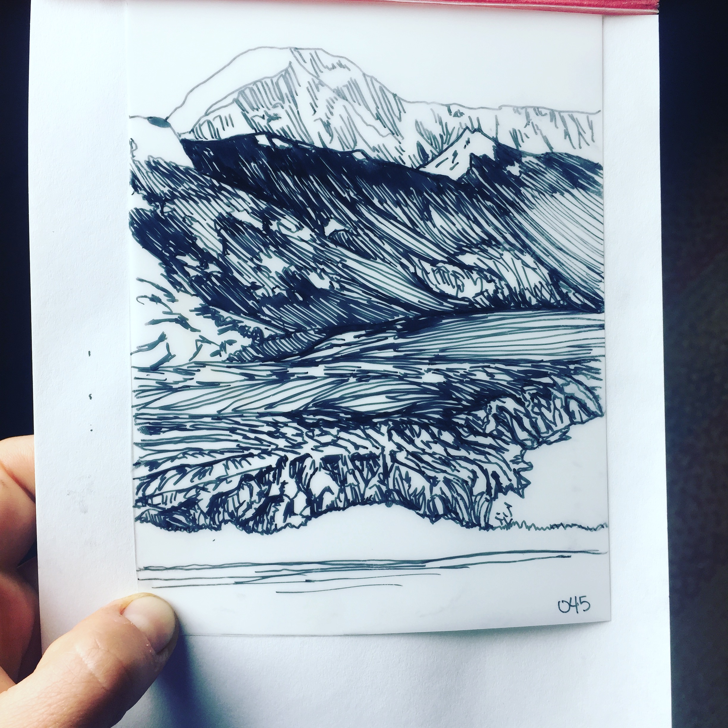
One of my negative drawings
Regardless, I have been drawing glaciers every day, or almost every day. Some days I do two, if I skip a day. I’ve really enjoyed this ritual and I’ve noticed improvements in my drawing. It takes about half an hour for me to create one drawing, which is just about perfect. I completely zone out and get entranced in the location and photo that I am working from. It’s really one of my favorite parts of the day, and I draw more elsewhere as a result.
I’ve been working from my photos from my adventures in Alaska over the past nine years. I put the photos into Photoshop, turn them black and white, and then invert them so I can draw a negative. When I make a print the black pen lines block the UV of the sun and make a white or light blue imprint. It’s an interesting process turning a photo into a pen drawing, but one I really enjoy. I also enjoy that I get to draw out the white part of the image with glaciers. Mostly, it has been fun to mentally revisit a lot of the glaciers I’ve spent time with:
Greg and me sitting in front of Mt Logan, once the sun finally came out.
The Root and the Kennicott:
These glaciers flow together into the heart of where I live. Well technically I live on the Nizina, which comes out of a different drainage, but they are the glaciers that I can access most easily. My first couple of summers here I guided hikes on the Root Glacier, so I’ve spent a lot of time there in the past watching the ice and the glacial surface change over the course of the season. I’ve come back and seen how it changes and shrinks year to year. Now you have to walk quite a bit farther to get on the white ice than you did in 2009.
The St. Elias:
In the spring of 2012, six of us flew into the Seward glacier on the north side of Mt. St Elias (Mt. Logan was on the other side-- to our north, and Mt. Vancouver to the east). We basically got stormed on the whole time we were there (about 10 days) and shoveled so we didn’t get buried alive. We originally planned to do some skiing, climbing, and exploring and to traverse onto the other side of Mt. Augusta. Instead we got to shovel and just be awed by the power of nature. After the storm, we did get a day of sunshine, which is when I took these photos. The scale of the mountains, of the ice, and the sheer amount of snow is staggering.
Elsewhere in the Wrangell-St. Elias:
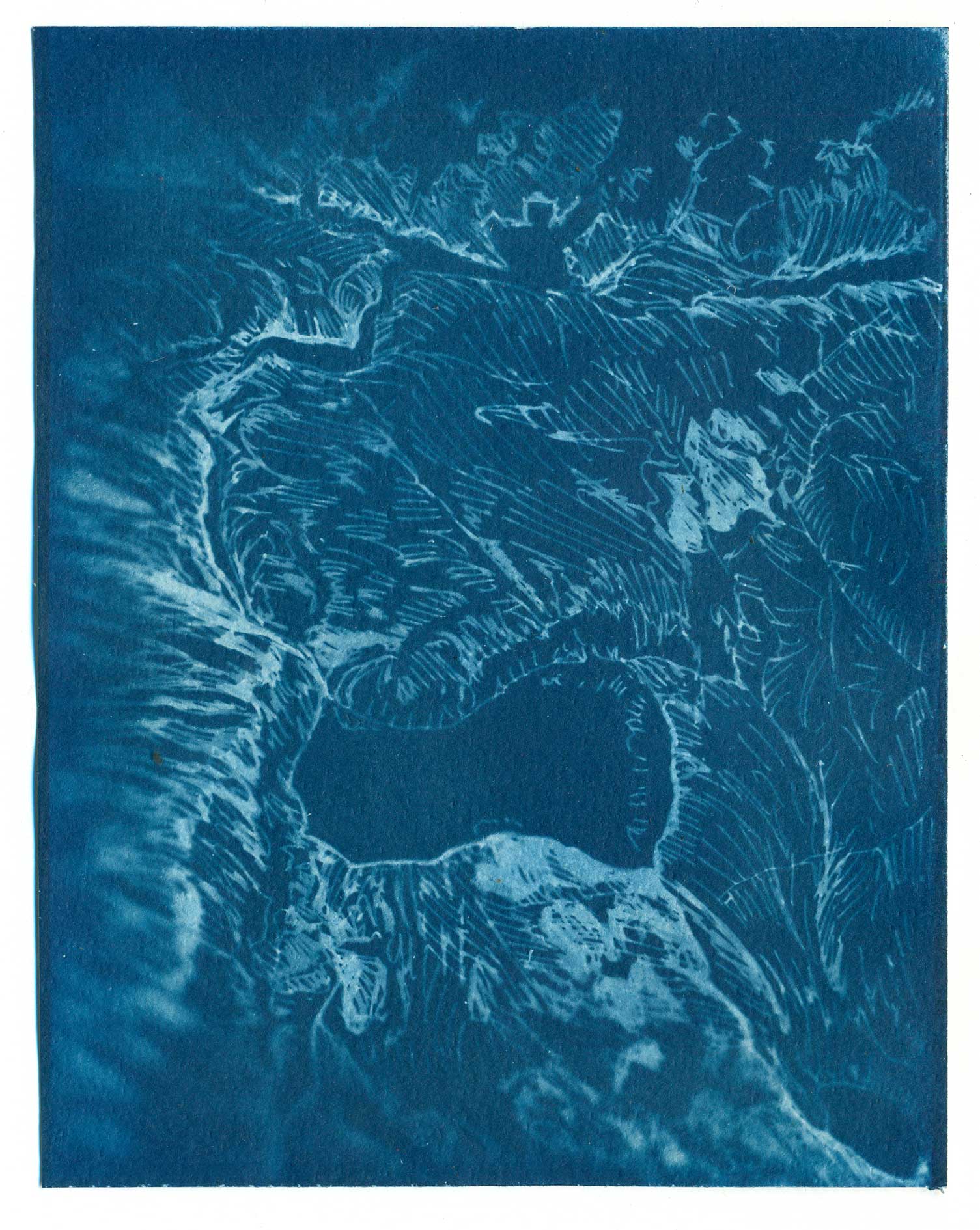
The Wrangell-St. Elias is huge and there are many glaciated areas to explore. Here are a few that I've been lucky enough to visit. Above is Iceberg Lake in the Chugach. Also Mt. Fredrika, the Fredrika, Rohn and Regal Glaciers near Skolai Pass, and some glaciers in Upper Martin Creek. A mix of alpine and valley glaciers.
Prince William Sound:
Last summer I did an artist residency through Voices of the Wilderness in the Nellie Juan- College Fiord Wilderness Study Area in Prince William Sound. I worked with the Forest Service, but I also got some time to see the sights, including going on a few tours which travel to many of the tidewater glaciers in the area.
See More:
You can go to 100GlacierCyanotypes to see all the prints (as I upload them) and to purchase one.
Future:
I never even got down to Juneau and the Juneau Icefield (and I’m sure there are more places I’d like to explore with this project). Partially this is because I lost all of my photos from JIRP last summer (or nearly all of them). The good news is that I’m going back this July, and hopefully in September or October I can finish up the last 30 days of the project with those references.
Hello from the glacial world.
