Natural History Art & Science Illustration
As much as I enjoy illustrating maps (see my Science Illustration section), I also love to use maps in my artwork. Geologic maps, topographic maps, and nautical charts are all works of art in their own right and inform the way we view and interpret the landscape. Many thanks to the USGS for providing quality documents within the public domain.
As much as I enjoy illustrating maps (see my Science Illustration section), I also love to use maps in my artwork. Geologic maps, topographic maps, and nautical charts are all works of art in their own right and inform the way we view and interpret the landscape. Many thanks to the USGS for providing quality documents within the public domain.
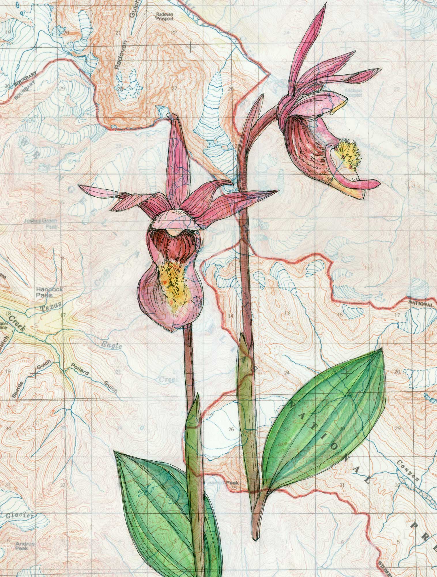
Caylpso Wilderness
Pen, watercolor, and gesso on topographic map; 11 x 8.5”
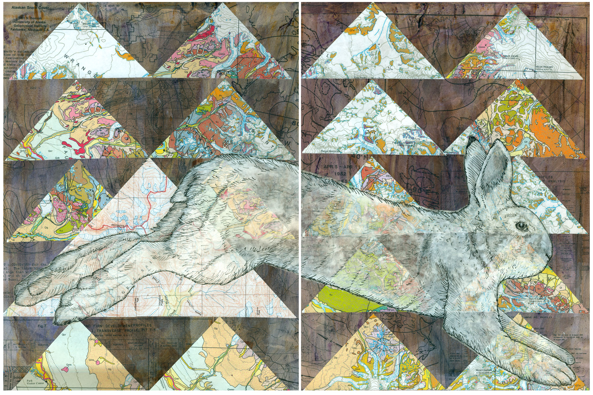
Hare Traveling Through Seasons
Mixed Media Collage with drawing on sumi paper, scientific figures, geologic and topographic maps, 16 x 24”
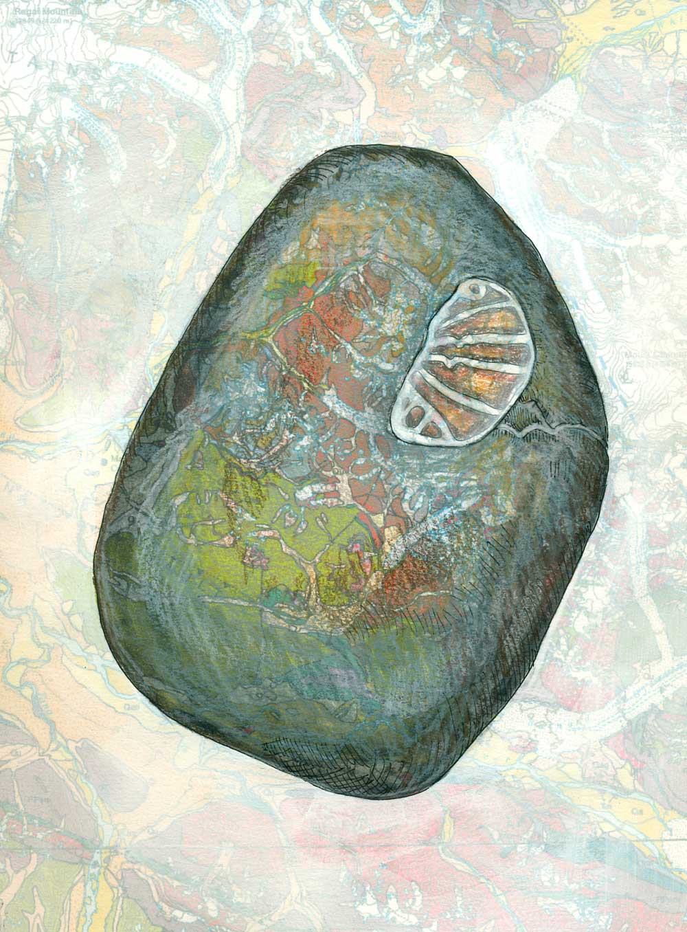
Fossil Rock 1
Mixed media study on geologic map of the Wrangell-St. Elias, 10 x 8”
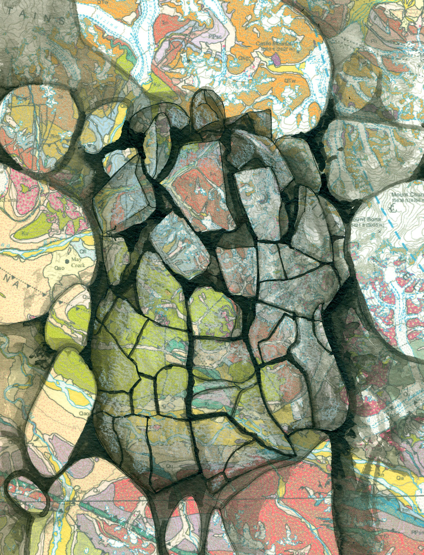
Broken Rock
Pen and ink study on geologic map of the Wrangell-St. Elias, 11 x 8.5”
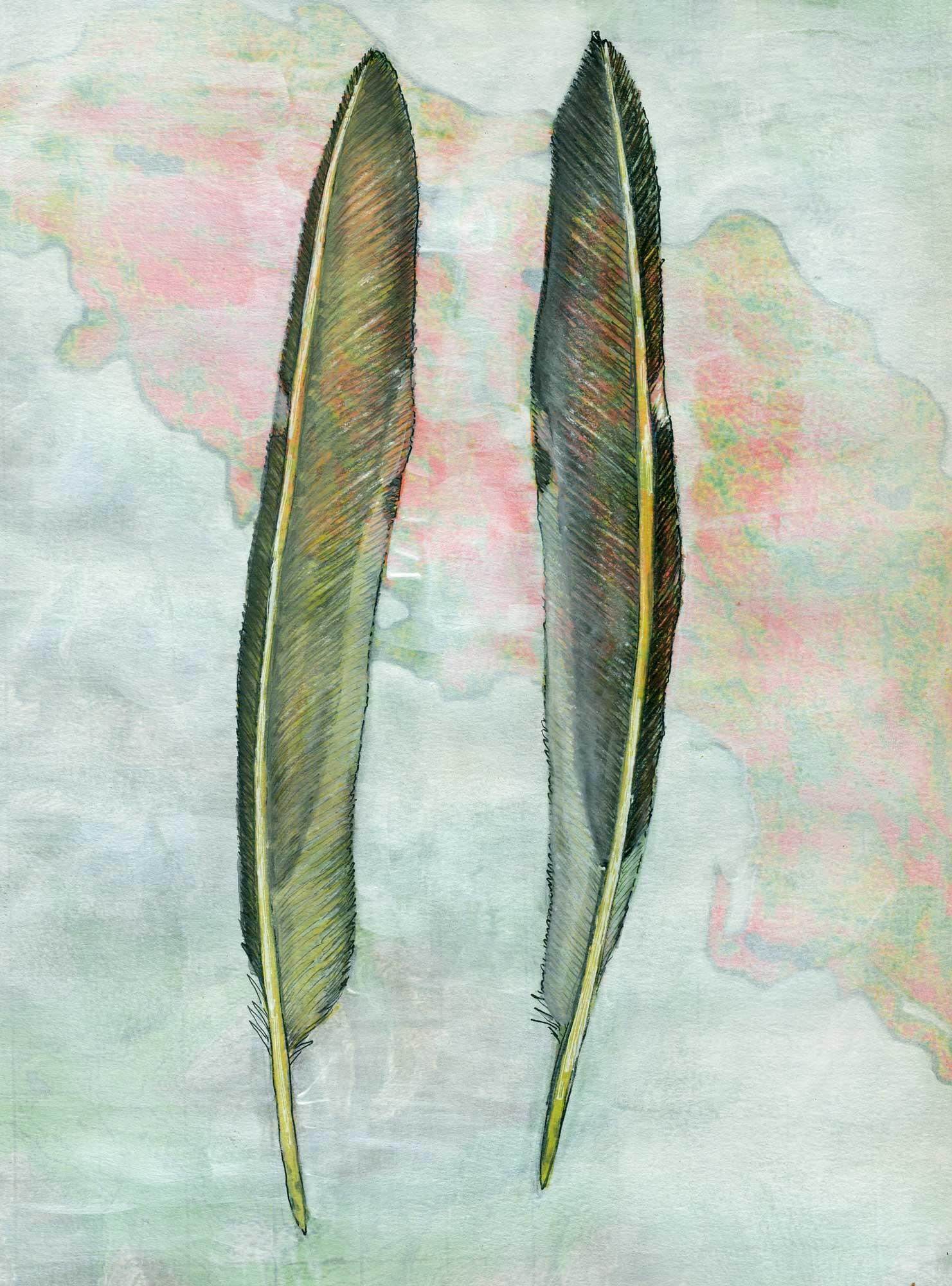
Dominion of Birds
Flicker feathers in mixed media on a map of fire extent in the Chakina drainage in the Wrangell-St. Elias, 11 x 8.5”
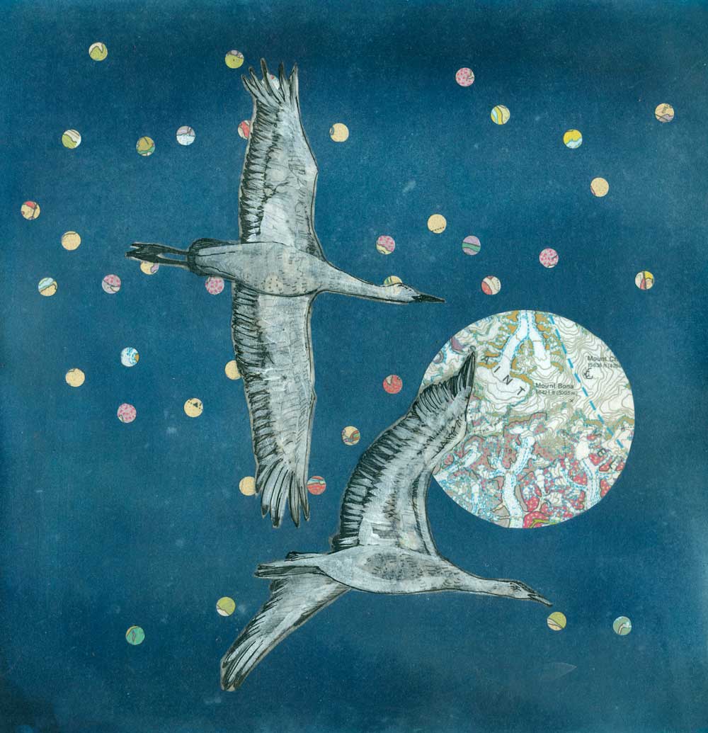
Crane Migration
Mixed media collage including drawing on sumi paper and geologic maps on paper, 12 x 12”
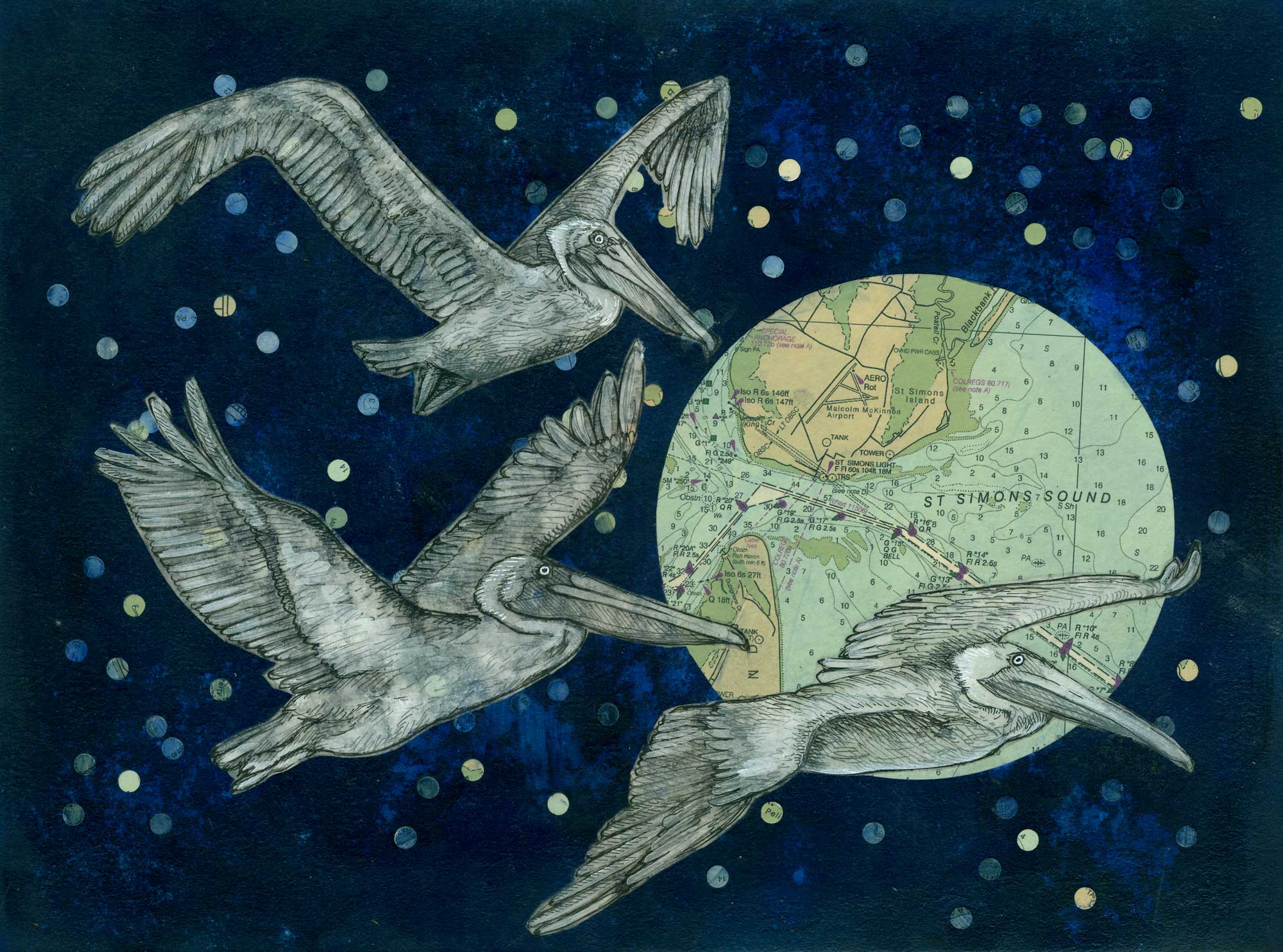
Pelicans
Mixed media collage of drawings on sumi paper and nautical charts on paper, 12 x 16”
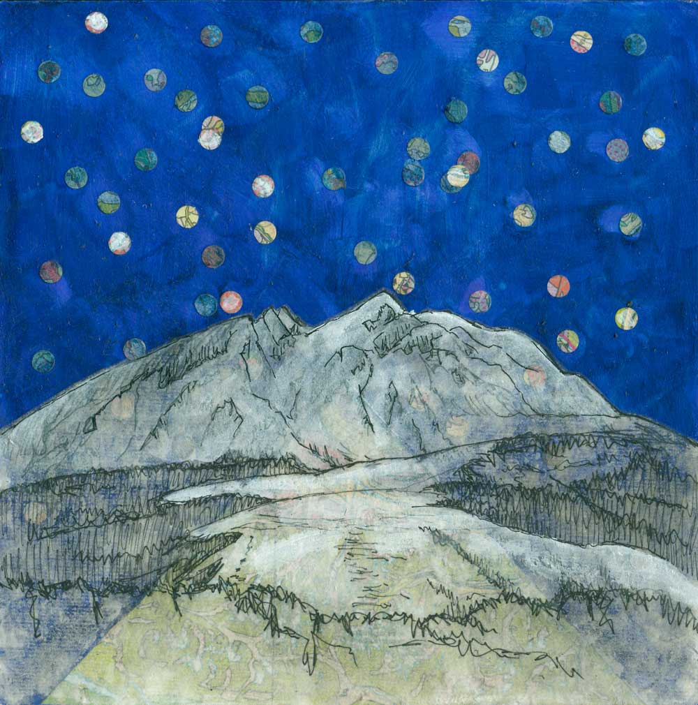
Sourdough Peak
Mixed media collage of drawing on sumi paper and geologic maps on panel, 8 x 8”